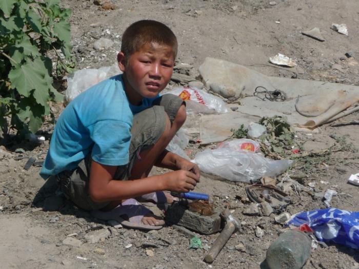
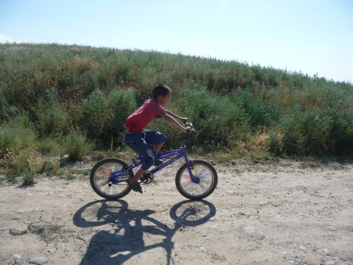
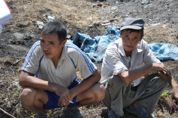
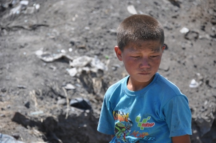
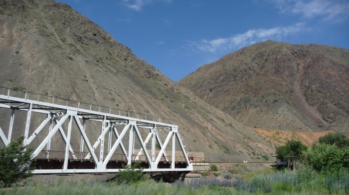
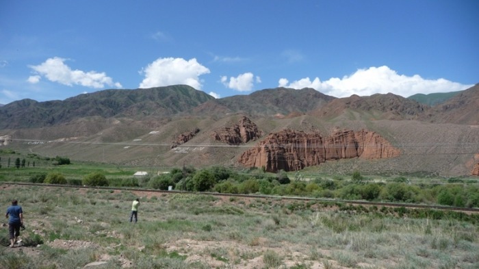
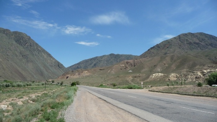
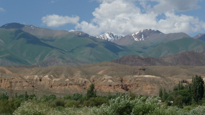
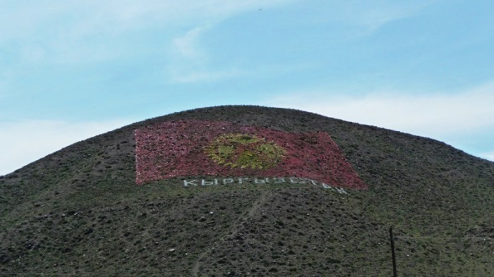
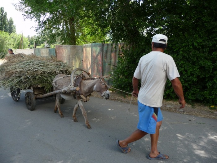
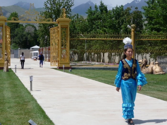
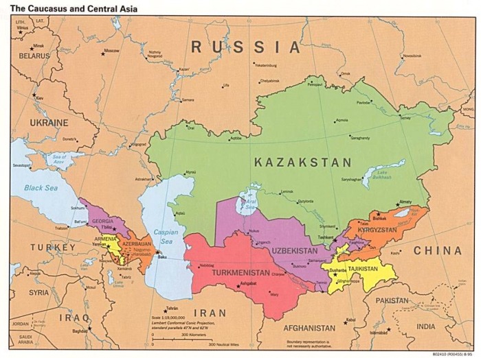
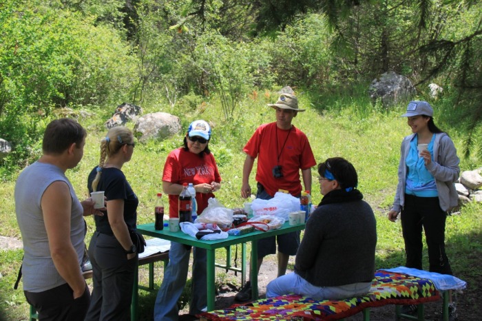
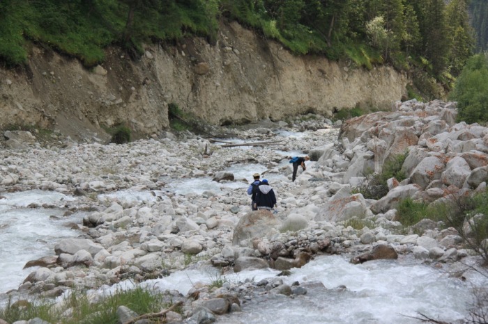
Kyrgyzstan - my business trip (June - July 2010)
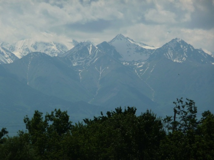
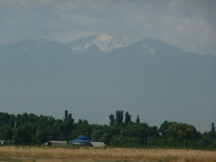
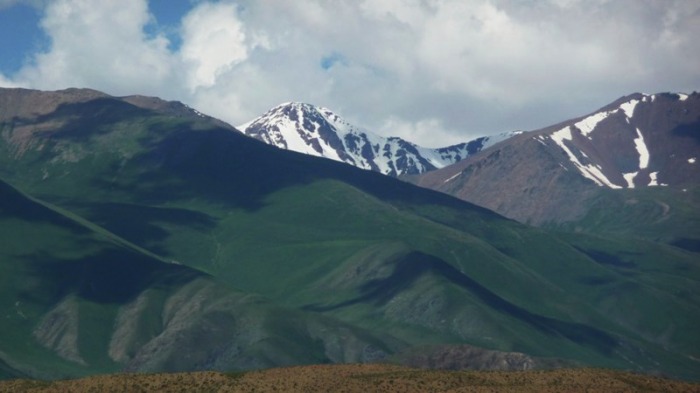
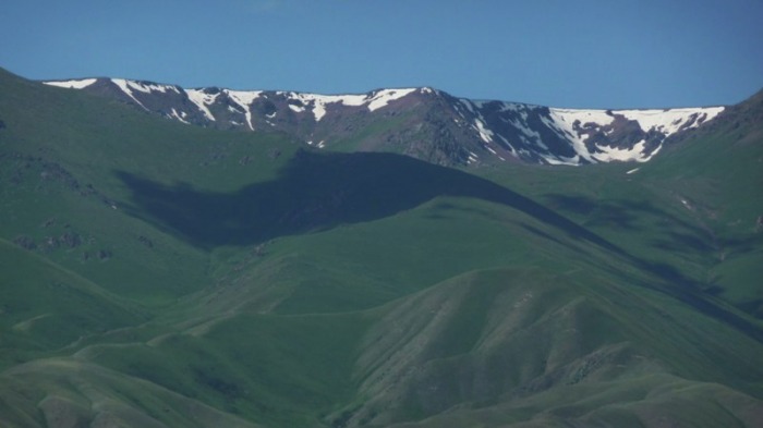
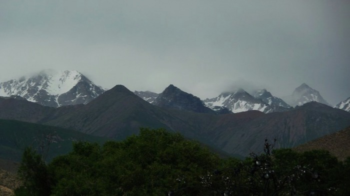
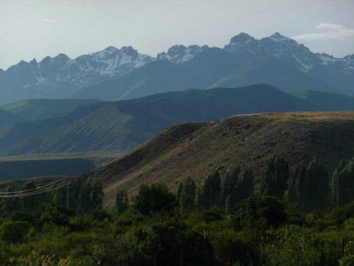
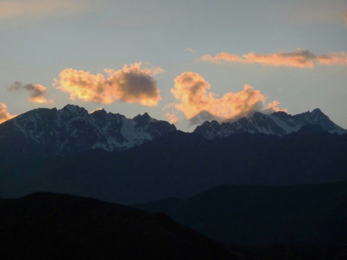
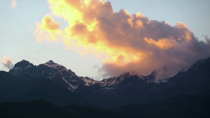
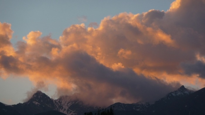
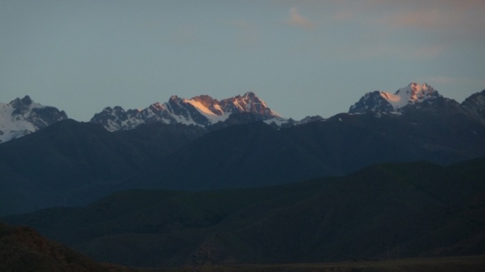
deväťdesiat percent krajiny tvoria nádherné údolia, ľadovcové jazerá i ľadovce, polovica územia je tisíc až tritisíc metrov nad morom. Kirgizsko je však aj pohorie Ťanšan (po čínsky Nebeské hory), Ferganské údolie a východný Pamír. Najvyšší vrch Pik Pobedy má 7 439 metrov. Aj keď je lyžovanie ako turistický priemysel ešte v plienkach, do lyžiarskeho rezortu v národnom parku Karakolské údolie za bezkonkurenčné ceny chodí veľa Rusov. V lete prichádzajú na túry Európania i Američania.
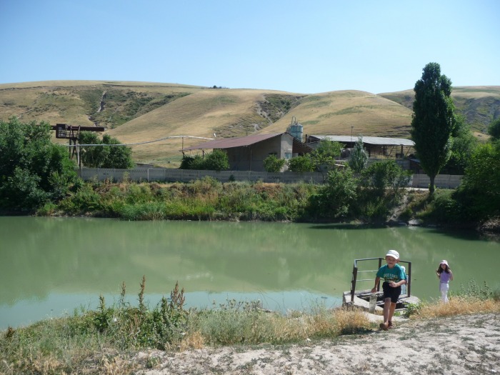
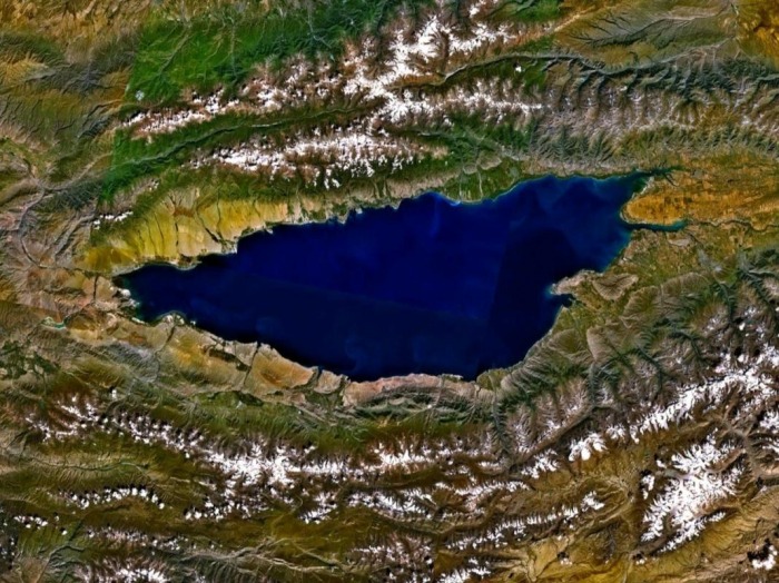
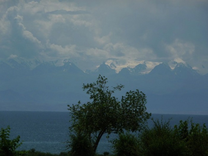
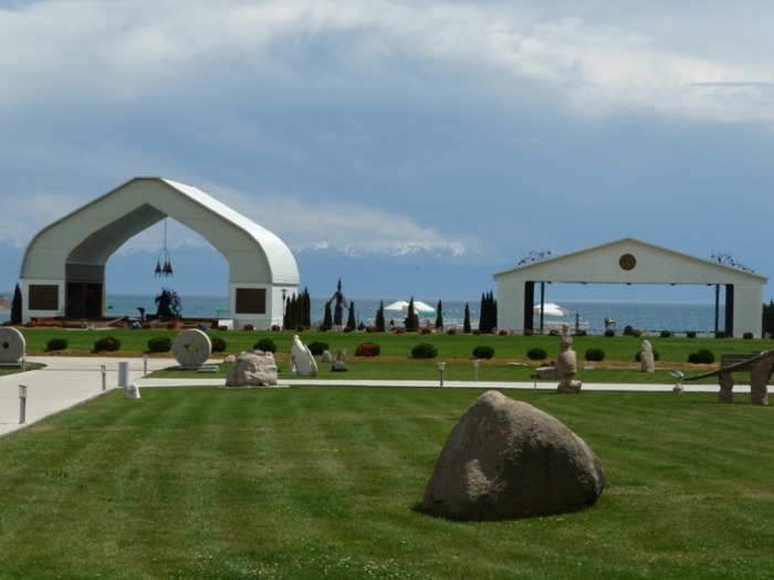
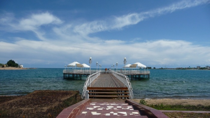
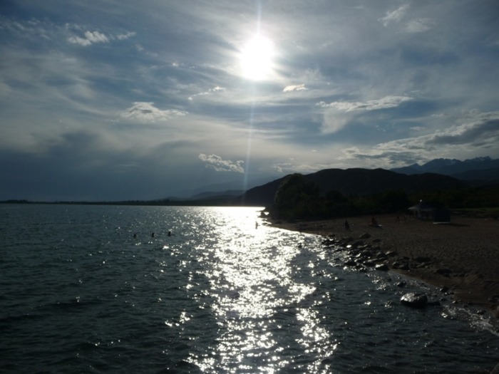
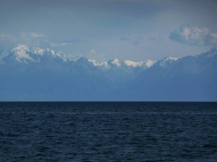
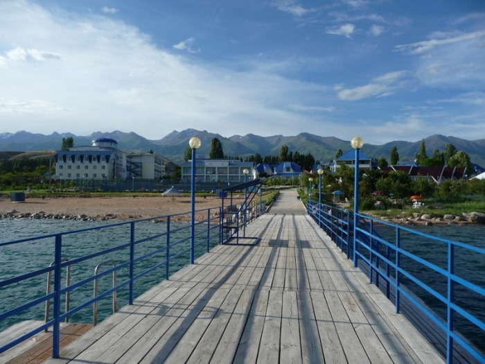
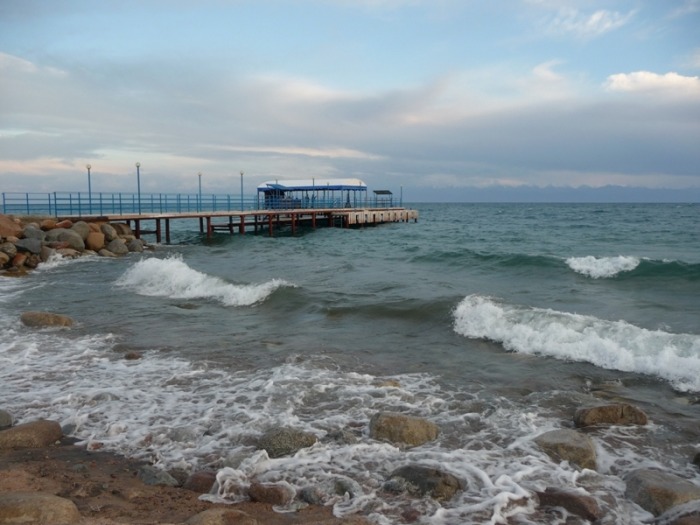
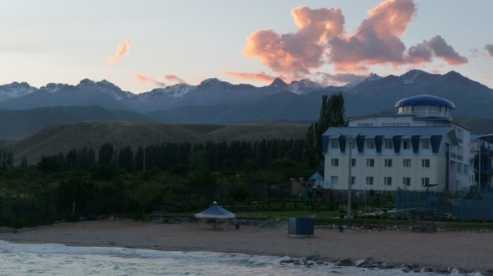
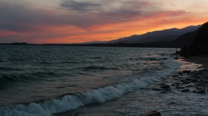
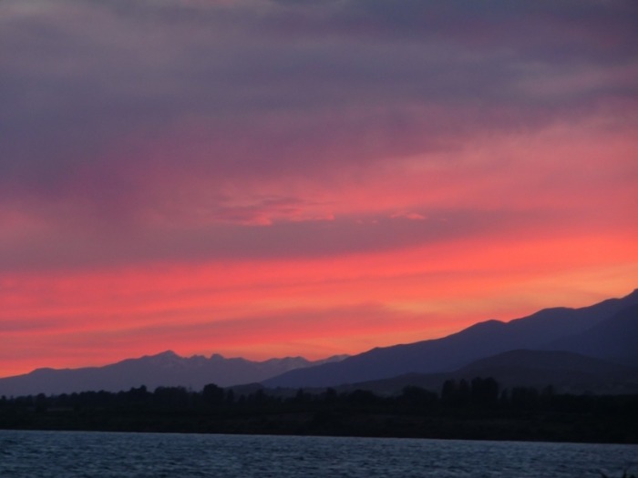
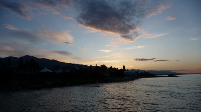
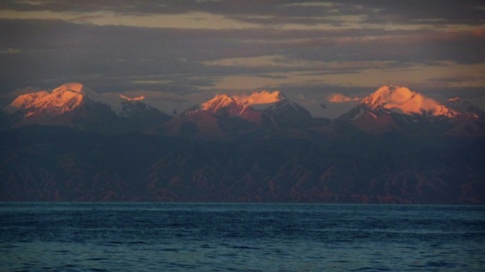
Issyk-Kul Lake
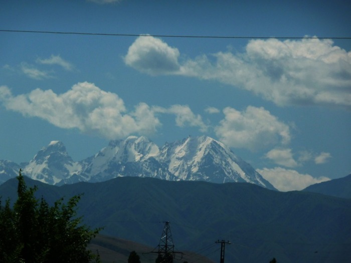
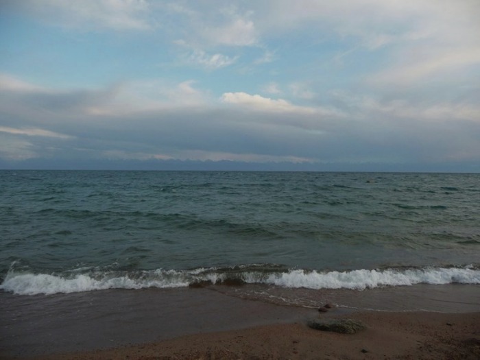
Lake Issyk-Kul, a drainless lake in the northern Tien Shan mountains of Kyrgyzstan, is one of the largest mountain lakes in the world, and is famous for its magnificent scenery and unique scientific interest. It spans an area of approx. 6300 km2, is roughly 750 m deep and its surface is at an elevation of about 1700 m. The lake's name (derived from a word for "hot lake") gives a hint on the fact that it does not freeze during the winter despite its elevation. Air temparatures in summer are about 16°C, while in winter they do not go below -3°C. Lake terraces along the shores indicate a higher water level in the past. The presence of underwater ruins of buildings proves that in the Middle Ages the level of the lake was lower than it is now. In the 20th century the lake has dropped more than three meters. Seasonal fluctuations of the level, caused by summer floods in the approx. 50 rivers of the Issyk-Kul basin, range from 20 to 60 cm. Surface curents, which flow counterclockwise, have been recorded. The water of the Issyk-Kul is sky blue in colour, very clear, and salty (0.6%).
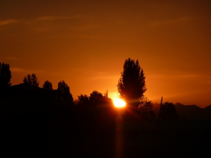
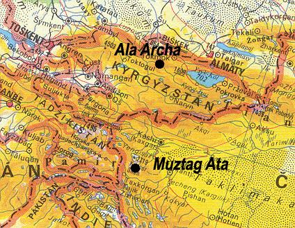
Issyk-kuľ (Teplé jazero) - po Titicaca v Južnej Amerike je to druhé najväčšie vysokohorské jazero na svete. Je dlhé 170, široké 70 kilometrov, predstavuje unikátnu kombináciu extrémnej hĺbky, termálnych prameňov, miernej slanosti a nikdy nezamŕza. Ruská armáda v ňom v osemdesiatych rokoch testovala torpéda. Okolie jazera bolo prosperujúcou ruskou turistickou oblasťou Čoplon Ata aj s domácou obdobou lochnesskej príšery Koy-Sary. Okolie profitovalo aj z pestovania ópia a konope. Na brehu je mestečko Karakol ako zo starého ruského filmu. Drevené domčeky, brezové háje, námestia s obeliskami a bojovníkmi za spravodlivosť, ruské reklamy s červenými hviezdami. Tu je východisko pre všetky expedície do centrálneho Ťanšanu a Terskej Alatau.

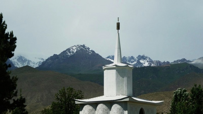


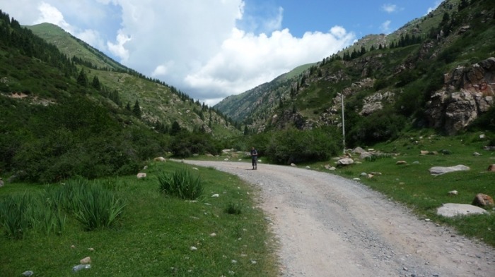
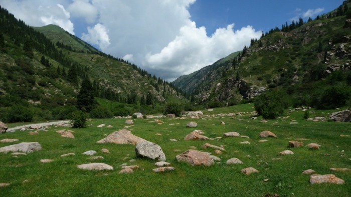

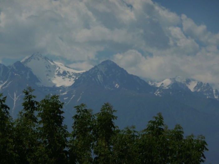
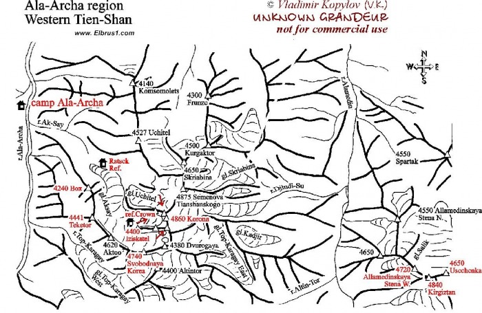
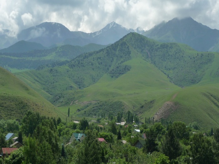
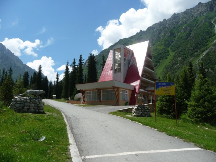
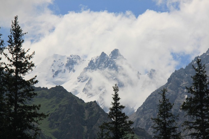
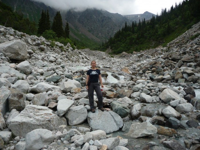
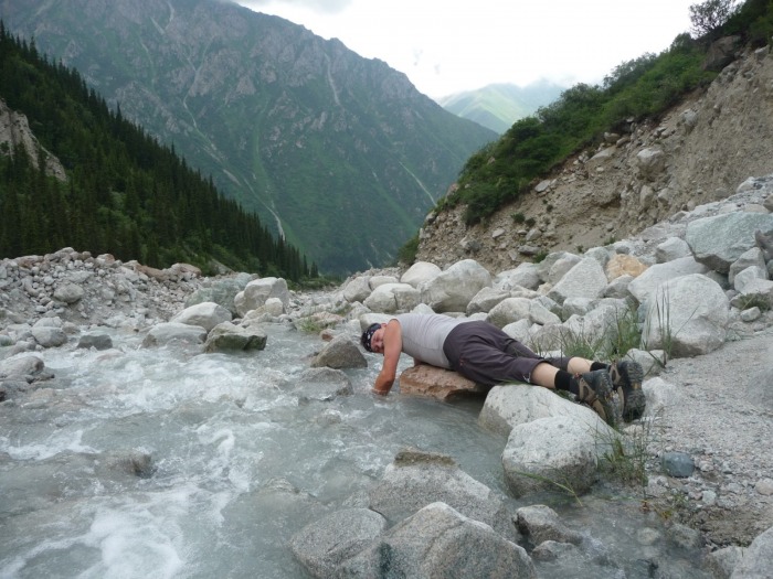
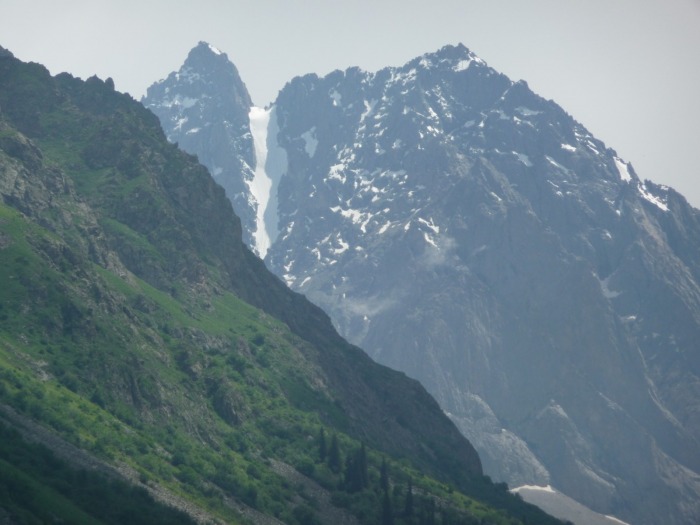
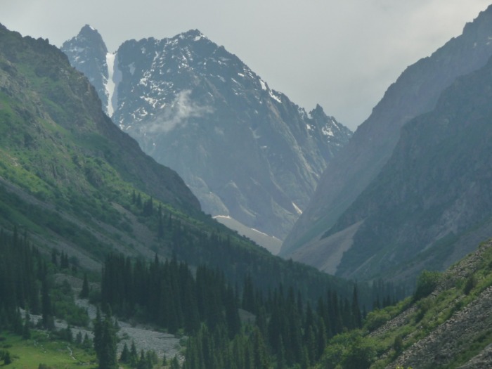
Ala Archa Ntional Park
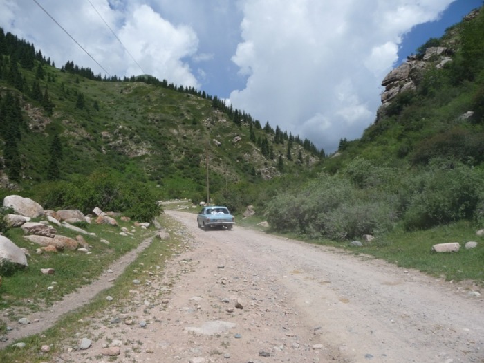
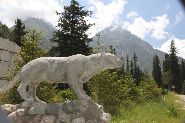
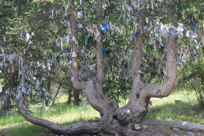
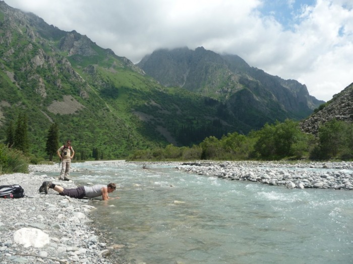
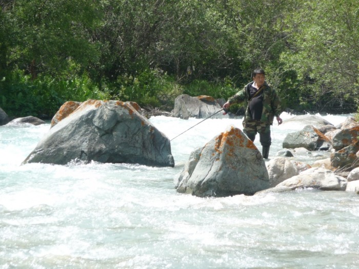
Národný park Ala Archa je chránená oblasť v Kyrgizsku. Je obľúbeným miestom pre turistiku, lyžovanie a horolezectvo, vrátane výletov na viac ako 20 ľadovcov. Celoročne prístupný Národný park Ala Archa leží približne 40 km od mesta Biškek. Rozkladá sa na ploche 200 km2 , prevažne zalesnené údolia s vodopádmi a riekami bohatými na pstruhy. Nadmorská výška sa pohybuje od 1500 m, až po najvyšší bod s výškou 4895 m. V nadmorskej výške 2100 m je základný tábor, východiskový bod turistických a horolezeckých trás po celom parku. Národný park Ala Archa chráni niekoľko vzácnych druhov živočíchov a v Kyrgizsku tradične uctievané borievky. Horské lúky sú stanovišťom pre divé kozy, srny alebo sviště. Národný park Ala Archa je jedným z mála miest, kde žije vzácny snežný leopard.


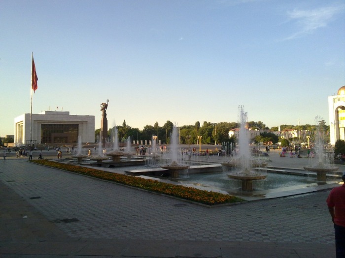
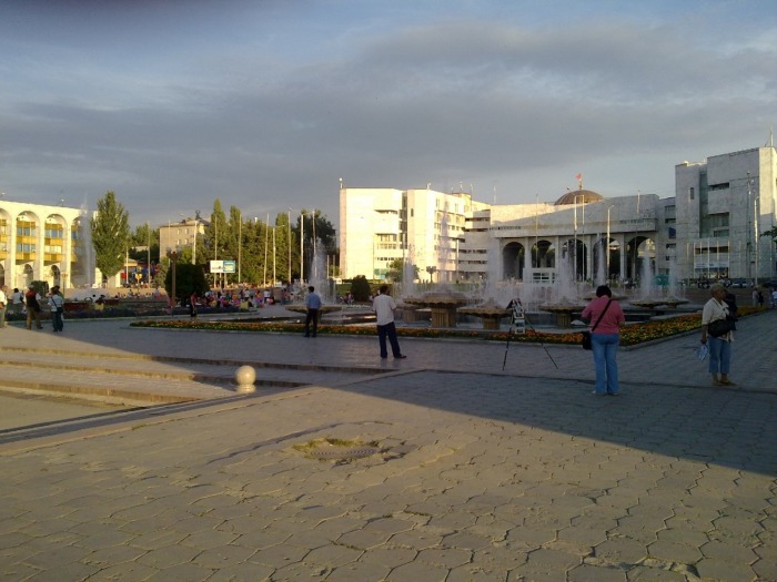
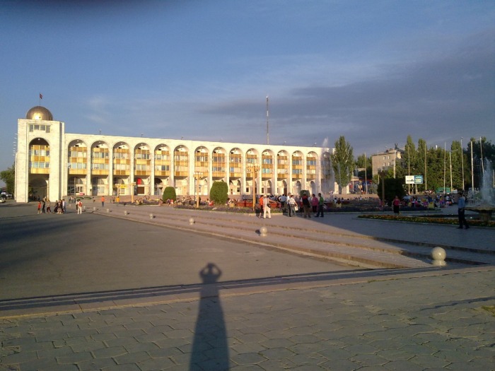
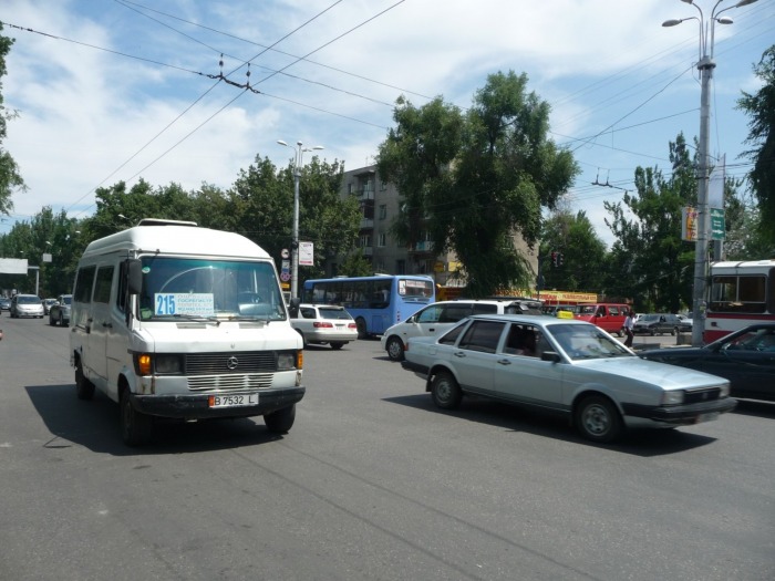
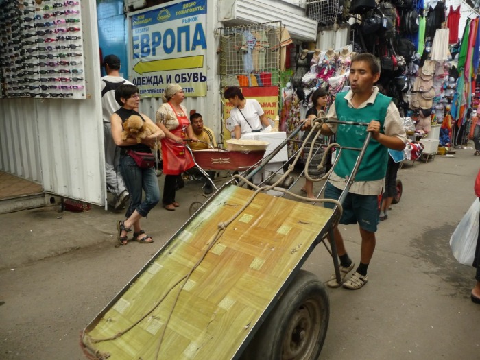
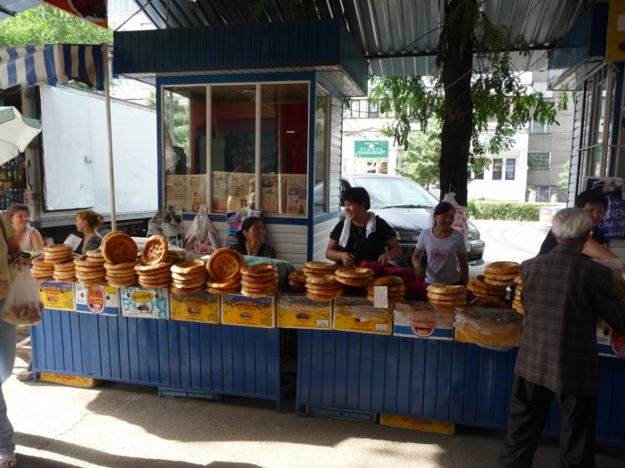
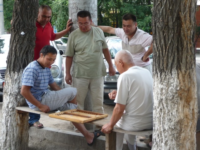
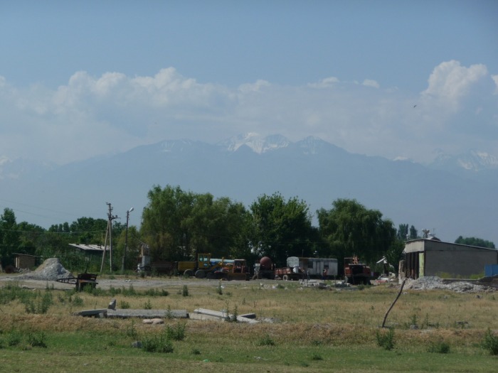
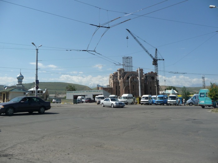
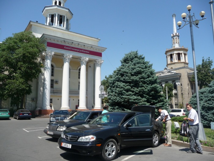
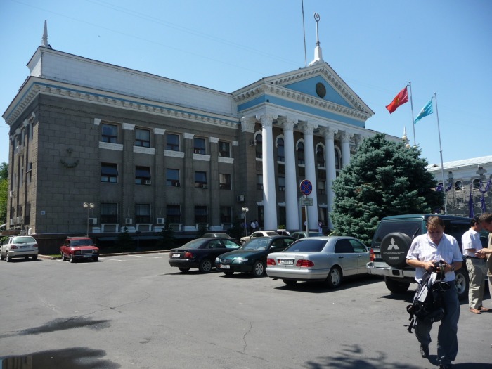
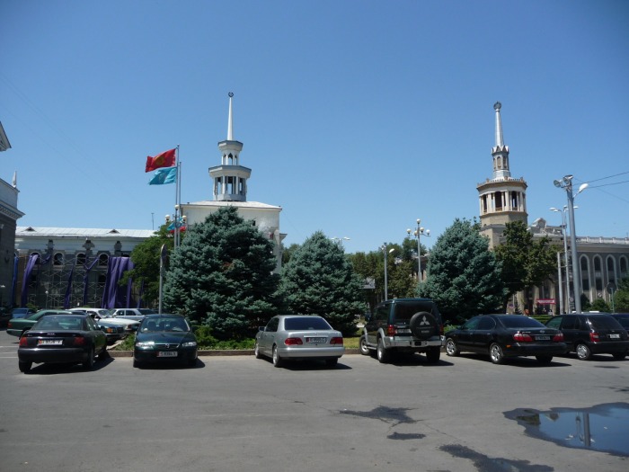
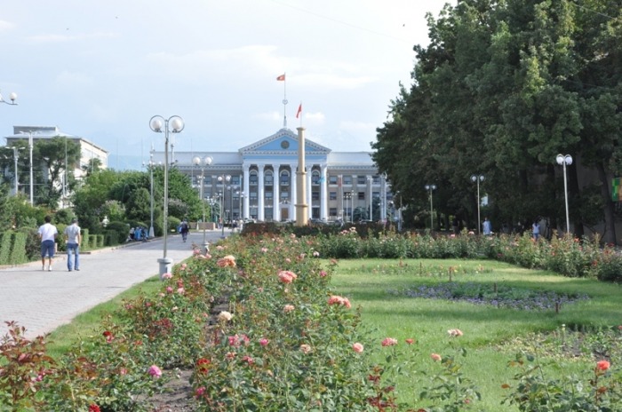
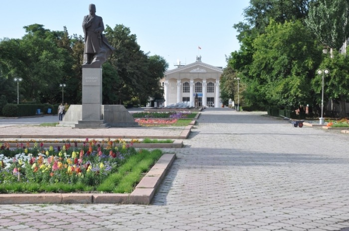
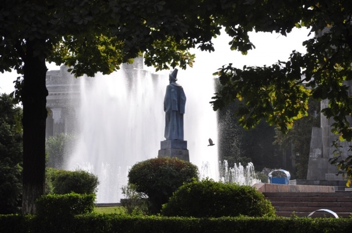
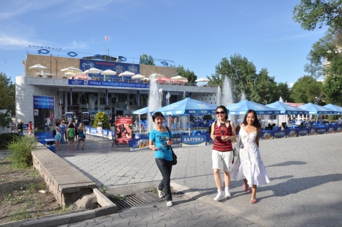
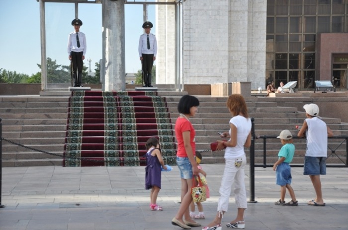
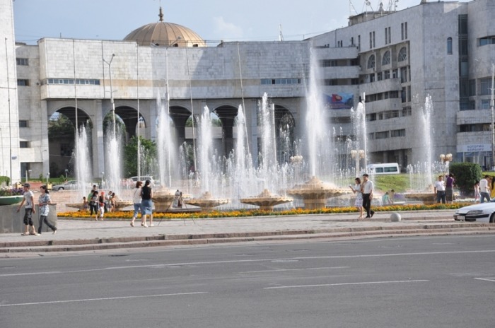
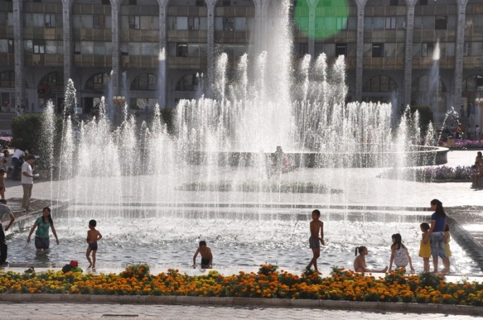
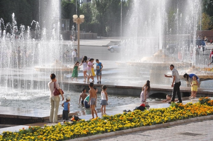
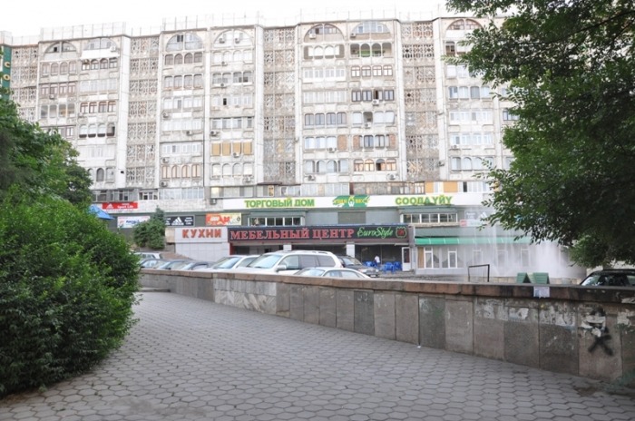
Bishkek
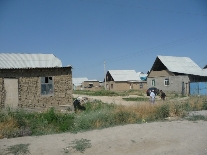
Bishkek is the capital of the Kyrgyz Republic and sits in the Tien Shan mountain range in the Chui Valley. It is a relatively new city and has limited historical sites, but it makes a great place to start your trips to the mountains and alpine lakes of the Tien Shans. Bishkek is, however, an interesting example of a planned city; laid on a grid with wide boulevards flanked by irrigation canals and large trees, buildings with marble facades, and Soviet apartment complexes. Many young travelers find Bishkek's nightlife a delight and the people are friendly and very hospitable. Bishkek is a city of many young people that hang out in parks or small cafes. Kyrgyzstan has the most liberal tourist visa regime in Central Asia, so it makes a great place to start your tour of the silk road and collect your visas to neighboring countries.